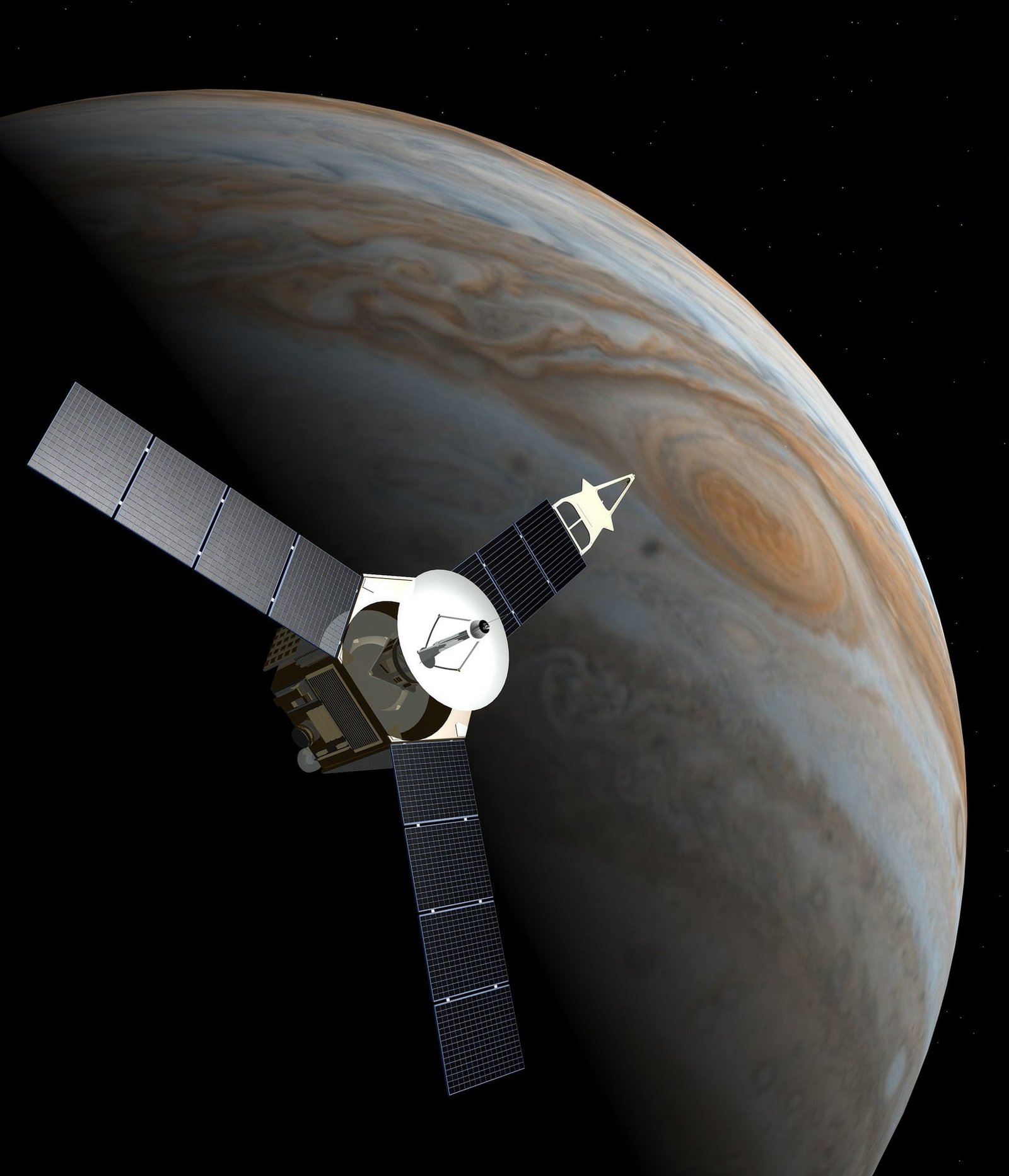
Tech Used in AI Satellites and Climate Models: Transforming Climate Science in 2026
Table of Contents
Introduction.
Why AI satellites Matter , for climate science
Key Technologies used in AI satellites
Technologies powering modern climate models.
How AI satellites and climate models work together
Benefits from AI for climate monitoring
Challenges and future opportunities
Flow chart
Conclusion
Frequently asked questions FAQs
Introduction
Climate change is honestly one of the biggest problems humanity has to face, so understanding Earth is more urgent than ever, right. The good news is that tech keeps moving forward pretty quickly, like almost all the time.
In 2026, Artificial Intelligence (AI) , smart satellites, cloud computing, machine learning, and high-performance supercomputers are reshaping how scientists gather information , interpret it, and try to foretell what comes next .
Earlier, climate monitoring often leaned on a ton of manual data collection plus classic mathematical forecasting methods, and those can take time. Now AI-powered satellites can track the planet’s atmosphere, oceans, forests, glaciers, and even shifting weather systems in near-real-time.
At the same time, climate models do the “heavy lifting” by crunching huge streams of environmental signals. Then they produce forecasts that are more precise than older approaches. When AI satellites and climate models collaborate, governments, universities, environmental groups, and disaster response teams can make decisions faster , with better context , and reduce risk. In the end, this can help keep communities safer.
Why AI Satellites Matter for Climate Science
Modern satellites aren’t just for pretty imagery from above. They work like observant sensing tools, able to detect subtle environmental shifts, sometimes earlier than people assume.
AI supports these satellites by helping them interpret what they capture, without requiring very long processing cycles back on Earth. And that really matters for quicker weather forecasting, more responsive emergency actions, and steadier environmental monitoring, day after day.
AI satellites help track things like:
Global temperature shifts
Ocean surface temperatures
Ice sheet melting
Deforestation
Wildfires
Air pollution
Greenhouse gas emissions
Hurricanes and cyclones
Flood risks
Agricultural conditions
These ongoing observations then get fed into climate prediction systems, so the bigger models can stay updated.
Key Technologies Used in AI Satellites
Artificial Intelligence (AI)
Artificial Intelligence is kind of the “brain” behind climate satellites, or at least it acts like one in practice. AI algorithms can zip through extremely large amounts of satellite data quickly, then sort out weather patterns, label cloud structures, spot wildfires and also flag environmental shifts that otherwise could take thousands of humans to examine page by page.
AI moreover helps tidy up satellite imagery, cut down noise, and improve the overall data quality before it even gets transmitted anywhere.
Benefits
Faster image processing
Automated environmental monitoring
Improved prediction accuracy
Reduced human workload
Real-time decision making
2. Machine Learning
Machine Learning helps satellites keep getting better over time, like they digest more observation data, more and more, until things feel smoother.
Instead of only relying on fixed instructions , ML systems can learn patterns from earlier weather events, from longer climate trends, and from previous satellite imagery too.
.
Common uses include:
Rainfall prediction
Storm tracking
Drought forecasting
Flood detection
Crop monitoring
And yes, model accuracy tends to rise each year as new satellite data keeps coming in.
3. Remote Sensing Technology
Remote sensing kind of lets satellites watch Earth, without having to touch the ground at all. It’s basically the idea, you know, they aren’t required to be there in person, which is kind of the point.
By using multiple sensors at once, satellites can collect more detailed clues about land surface temperature, ocean hues, vegetation condition, atmospheric constituents, soil water content, and snow coverage too. So, yeah, like, multiple signals together.
Those readings help researchers track climate changes across almost every part of the planet, in a manner that is pretty difficult to replicate otherwise, honestly.
4. Hyperspectral Imaging
Instead of grabbing only a couple colors like regular cameras do, hyperspectral sensors measure hundreds of light wavelengths, and not just some tiny slice . Because of that the resulting information ends up being a lot more precise than you might imagine at first glance.
That lets researchers identify:
Plant stress signals
Water quality variations
Mineral composition patterns
Pollution levels
Forest health indicators
AI can process these huge datasets quicker than older, traditional software approaches.
5. Edge AI Computing
Rather than sending every raw data fragment back to Earth, many modern satellites use Edge AI so analysis can happen onboard.
This approach has a few major wins:
Faster response times
Lower communication costs
Less bandwidth usage
Immediate disaster alerts
Edge AI is getting more attention because next-generation Earth observation missions need quick actions, not delays.
6. Internet of Things (IoT)
A lot of climate monitoring stations , weather sensors , ocean buoys and other smart environmental devices end up connecting through IoT networks and yeah, it’s kind of the usual setup.
Then satellite information kinda mixes in with ground based sensor readings, so it all blends into a more complete picture of conditions across the planet , rather than just seeing one side.
IoT supports things like:
Temperature readings
Humidity measurements
Ocean monitoring updates
Wind speed data
Soil moisture information
7. Cloud Computing
Climate research produces petabytes of data each year, and it piles up fast.
Cloud computing helps researchers worldwide:
Store satellite datasets
Analyze climate information at scale
Share datasets with other teams
Train AI models
Run complex simulations
Cloud platforms also make collaboration easier, so science teams can work together more smoothly.
Technologies Powering Modern Climate Models
Climate models simulate how Earth's atmosphere, oceans, land surfaces, and ice systems behave, so they can project future conditions.
A handful of advanced technologies make these models sharper, and more reliable than older versions.
High-Performance Computing (HPC)
Climate simulations need serious computational power.
Modern supercomputers run trillions of calculations to simulate:
Global warming dynamics
Ocean circulation behavior
Carbon cycle processes
Weather system movement
Seasonal climate changes
Without HPC resources, modern climate forecasting would basically struggle to function at the same level.
Deep Learning
Deep learning is basically finding those hidden types of links inside climate data, and yeah it can be pretty sneaky. Scientists usually lean on neural networks for a bunch of things like:
Predicting hurricanes
Forecasting rainfall
Finding climate anomalies
Making weather forecasting better
Studying historical climate records
And it fits alongside traditional, physics based climate modeling. It doesn’t totally replace it, more like complements it in a more nuanced way.
Big Data Analytics
Climate research lives and breathes on enormous datasets, gathered from satellites, aircraft, ocean sensors , weather stations, and research organizations (sometimes universities too).
With big data technologies, the information can be organized and analyzed without everything becoming slow or chaotic.
The benefits usually include:
Quicker research
Stronger visualization
More accurate forecasting
Expanded climate simulations
Geographic Information Systems, which people often call GIS
GIS
GIS combines satellite images with geographic mapping, and it helps researchers turn raw observations into something easier to interpret. In practice, people use GIS to visualize things like:
Flood zones
Deforestation
Urban heat islands
Coastal erosion
Agricultural productivity
Those interactive maps make it easier for governments and agencies to plan , rather than just react.
How AI Satellites and Climate Models Work Together
The full climate prediction process works like a connected chain. Not one step, but a flow that repeats as new data comes in.
AI SATELLITES
│
▼
Collect Earth Observation Data
│
▼
AI image processing & cleaning
│
▼
Cloud Storage & Big Data
│
▼
Machine learning analysis
│
▼
Climate model simulations
│
▼
Weather & climate predictions
│
▼
Governments • Scientists • Disaster Agencies
│
▼
Early warnings & climate action
Benefits of AI in Climate Monitoring
Modern AI powered climate tools bring real advantages, especially when conditions get complicated fast.
Higher forecast accuracy
AI can spot complex environmental patterns that traditional setups sometimes miss, so weather and climate predictions improve.
Faster disaster response
When early warnings arrive for floods, hurricanes, wildfires and droughts, emergency teams can move quicker and hopefully save lives.
Better environmental protection
Governments can monitor illegal deforestation, pollution, and general ecosystem decline almost instantly, so enforcement is less delayed.
Smarter agriculture
Farmers get more accurate weather forecasts, plus crop health insights, which can raise productivity and cut losses.
Improved resource management
Satellite data supports better water usage, reservoir monitoring, and forest management in a more coordinated way.
Challenges and Future Opportunities
Even though AI satellites changed climate science a lot, issues still show up. For example, some developing nations still have limited access to satellite systems, and the computing power needed for heavy processing.
Also, processing huge amounts of environmental data takes serious resources and energy. On top of that, AI models really depend on high quality observations, so incomplete or inaccurate data can weaken forecasting reliability.
Still, what comes next is exciting. Future innovations are expected to include quantum computing for climate simulations, autonomous satellite constellations, digital twins of Earth, AI assisted carbon monitoring, and even better global climate forecasting. These ideas should improve our ability to understand environmental shifts, and respond faster when change happens.
Conclusion
AI satellites and those advanced climate models are kinda reshaping how we monitor the environment, and if you zoom in on 2026, the whole climate picture feels like it’s being reworked, like, for real. With Artificial Intelligence, machine learning, remote sensing, cloud computing, high performance computing, GIS, and big data analytics all mixed together, researchers can watch Earth with more speed and precision than before, sort of like a clearer window, but also quicker
And it’s not only about better weather forecasts. These setups also help with disaster readiness, support sustainable agriculture, back environmental conservation, and even make policymaking better, mostly because the decisions are more informed, and usually made sooner. As AI keeps leveling up, climate science might become even more accurate. Then communities in different places can make wiser choices, and build stronger resilience against climate change
Frequently Asked Questions (FAQs)
What are AI satellites?
They are Earth observing satellites, kinda, and they bring Artificial Intelligence into the mix so they can process environmental information with more or less independence. In practice they keep scanning for subtle shifts , then they mark or flag specific changes , and after that they share quicker climate insights than traditional setups.
2. How do AI satellites help climate research?
They track weather patterns, greenhouse gases, forests, oceans, glaciers, plus natural disasters too, and then they send real time updates straight into climate models
3. What technologies are used in modern climate models?
Modern climate models usually blend Artificial Intelligence, Machine Learning, High Performance Computing, Big Data Analytics, Cloud Computing, Remote Sensing, GIS, and Deep Learning ,all together, like a combined toolkit
4. Why is machine learning important for climate prediction?
Machine learning is good at spotting subtle patterns in past records and ongoing climate streams. That can raise forecast accuracy, and also strengthen longer term climate projections
5. What is the future of AI in climate science?
It could include quantum computing, autonomous AI satellite networks, digital Earth style simulations, improved carbon tracking, and faster plus more precise climate forecasting, so global sustainability goals can move along more effectively